A few weeks ago, we had the unsettling news that there was a fire on Clinch Mountain. It was on the “Mendota” side of the mountain, and before it was out 10 acres had burned. “Thank goodness that is over,” we all thought. Later in the week on another part of the mountain, another fire was discovered and close to 900 acres were burned before the fire died.
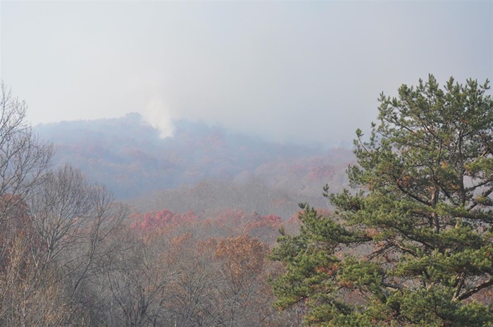
On Wednesday morning before Thanksgiving, another fire was discovered on Clinch Mountain–not far from where the first one occurred. This looks like a beautiful, foggy morning, but it is misleading. It’s smoke. (Picture taken by Amy Larson)
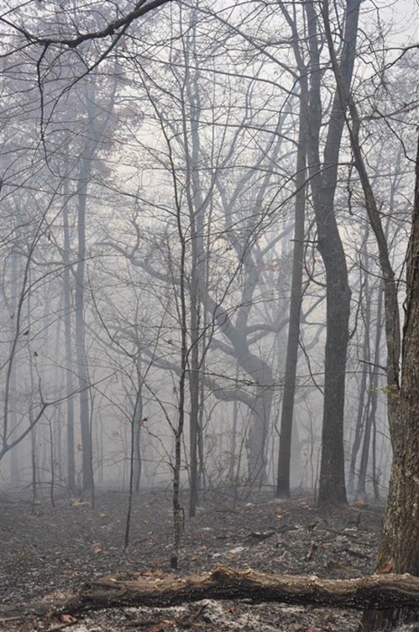
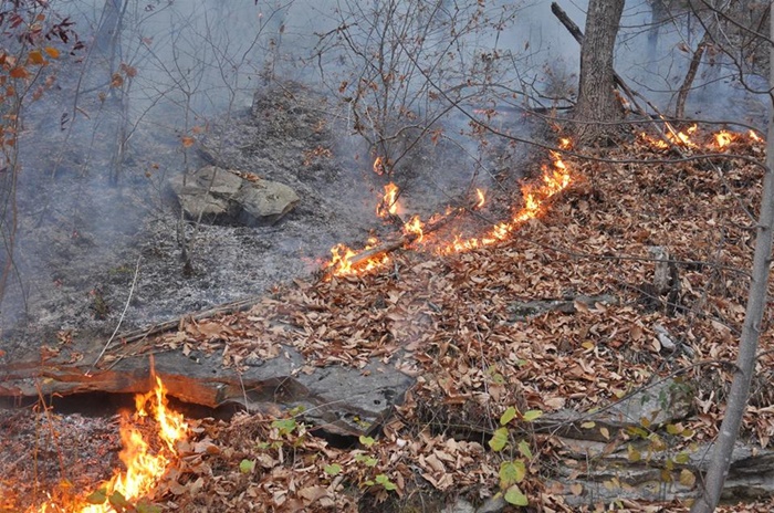
Primarily, the fire is moving along the forest floor, and in many cases, the leaves on the tops of the tree are not even affected, and it’s difficult to see where it has burned if you are looking at the trees from a distance. However, it is burning, and some of the dead trees are on fire as well as the underbrush. They take longer to burn. The picture below was taken by Randy Powers.
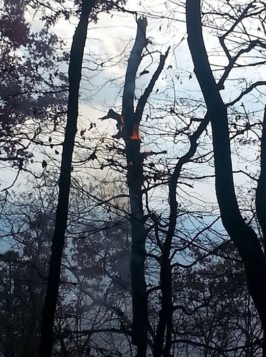
If you are a mountain person… you understand how difficult this is. It’s not just safety that comes to mind, it’s the violation of the mountain we love. This pictures below were taken by Amy Larson and Saul Hernandez, the Tyler District County Supervisor, who has been watching this closely.
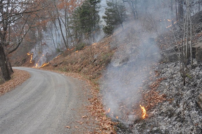
Pinnacle Road, which I still call “the Mountain Road” as it was known for generations, acts as a fire line, keeping the fire from crossing further if the wind is not blowing hard.
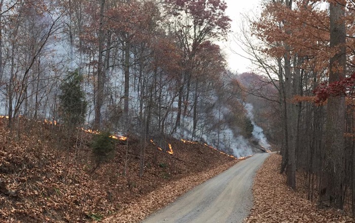
The fire moves along at a steady clip…burning the very, very dry leaves and brush on the mountain floor. Acres and acres…close to 1,000 by now have burned. Some say fires leave the mountain healthier, but this is not good. The mountain was full of acorns which sustain deer and other wildlife. They are burning.
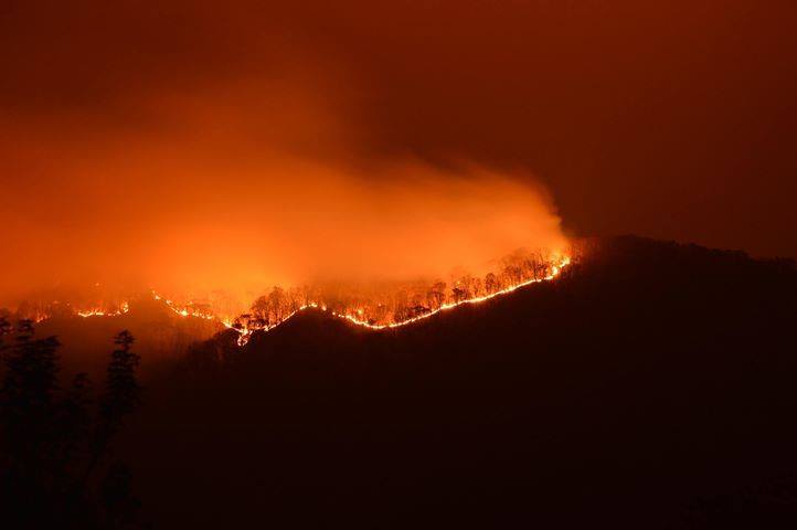
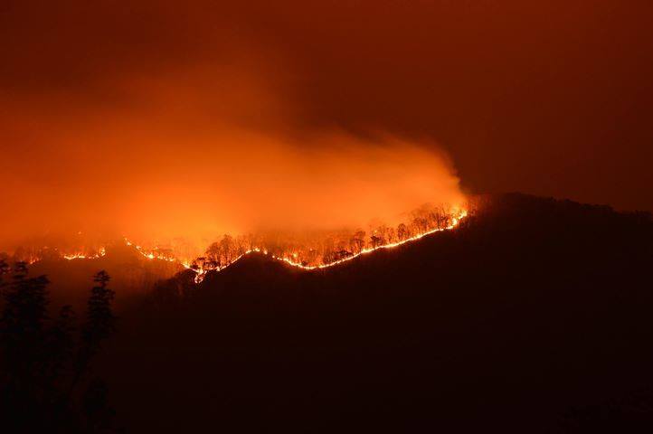
At night, we can see the “big picture.” It is terrifying. Brandon Moore took the picture below. I did not sleep at all the night this picture was taken. We had Mike’s son and daughters in town and our plan to was to go to IHOP on Thanksgiving morning and eat before they drove back to Northern Virginia. I did not sleep until it was day light and I could look out and see the mountain. We opted out of IHop and I slept most of the morning.
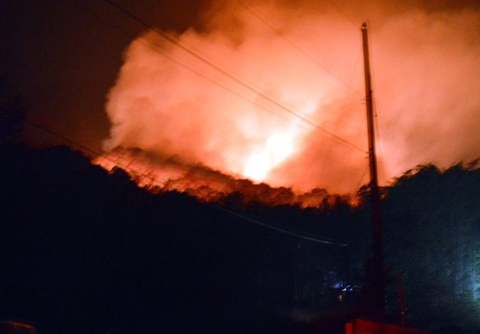
Mendota is in Poor Valley…at the base of Clinch Mountain on the Washington County side. Homes are tucked in close to the woods. We all love living near the mountain. I feel unsafe without Clinch Mountain at my back. However, when this looms nearby as in Pam Powers’ picture on Thanksgiving evening. it’s unnerving.
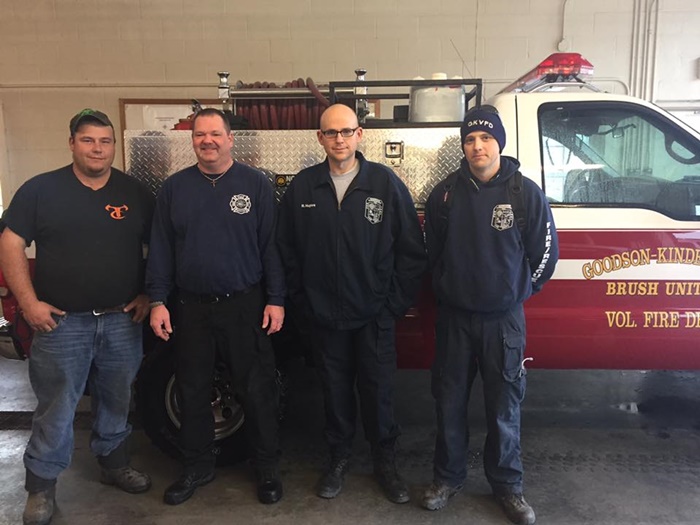
Goodson Kinderhook Volunteer Fire & Rescue has been working for three weeks on the fires. Here’s four of our guys. Saul Hernandez took this picture.
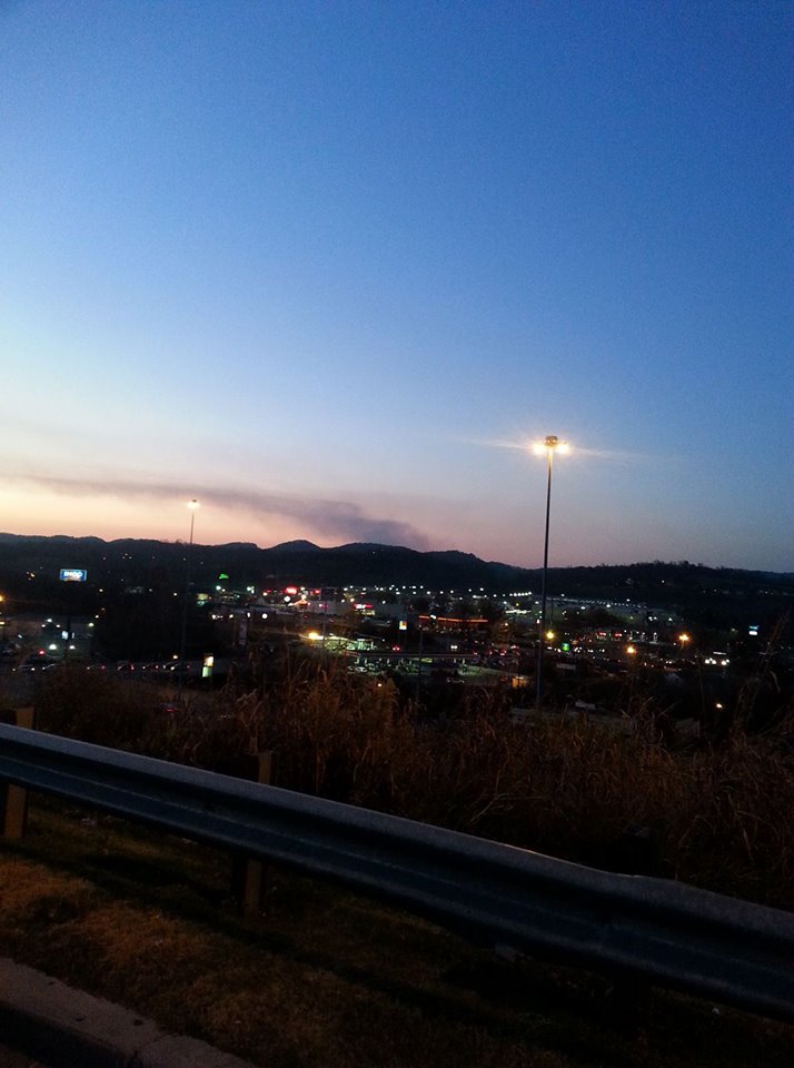
The air quality has been affected all around us. Randy Powers took this picture from Cracker Barrel at Exit 7 in Bristol.
Here’s a picture taken this afternoon by Amy Larson, and our latest official update from Saul Hernandez.
As many of you already know the fire jumped the line that had been cut by Virginia Dept Forestry on the west side going towards Gate City. A new fire line has been cut and Goodson is on stand by ready to protect structures. They have also started a back burn to head off the fire going down hill. The fire has also jumped fire line on North side last night and burning into Russel County. This fire will easily burn over 1000 acres maybe more by time it is said and done. Just spoke with Chief Venable and as you can imagine the guys Goodson Kinderhook Volunteer Fire Department are pretty tired. I would imagine so is Brumley Gap Vol. Fire Department and Forest Service. Please continue to pray for their safety and for some rain.
Please join me and others in Mendota in doing exactly what Saul has suggested. We love this beautiful mountain. The photo below was taken by Angela Fleenor who is a friend of my friend, Joann Vicars.
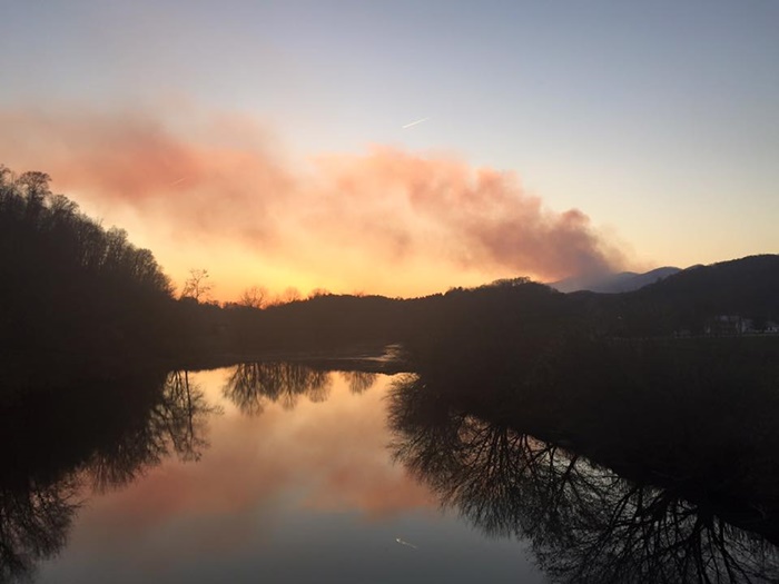
Thank you.
![]()

